Free Maryland Coloring Pages

Maryland

This post contains my Maryland coloring pages - see my post with ALL 50 STATES COLORING PAGES HERE

I’ve made these Maryland coloring pages for you - whoever you are, a teacher sharing about Maryland with students, a grown up who’s dreaming of a Maryland vacation, a kid who’s excited to study Maryland - use these as much and as often as you’d like.

Please enjoy these four coloring sheets inspired by the state of Maryland. And come back to Stevie Doodles for all your coloring page needs - I have 1000’s of free pages and you can browse my free coloring sheets by category here

You’ll find a Maryland facts coloring page, a classic Stevie Doodles “Maryland” coloring page, coloring page, and a Maryland doodle coloring page.

If you want to share these pages, please share with links to Stevie Doodles so your friends can find all of the other free pages here as well. Thank you for visiting Stevie Doodles!

Free 4 Maryland coloring pages to print and color from Stevie Doodles - print and color these Maryland pages today

Maryland was named after Queen Henrietta Maria of England. She was married to King Charles I, who granted permission for Maryland to become a colony.

Legend has it that Maryland’s nicknamed the Old Line State in honor of 400 Revolutionary War soldiers who faced off against 10,000 British soldiers in a battle in 1776. These soldiers, which were called the “Maryland Line,” held off the British just long enough to allow the rest of the American army—lead by George Washington—to escape. READ MORE ABOUT MARYLAND HERE FROM NAT GEO


Maryland Facts Activity Sheet

Learn a little about Maryland with this fun and free Maryland facts coloring page printable from Stevie

Maryland  facts - a free activity coloring page about Maryland from Stevie Doodles, free to print and color. Find 1000’s of free printable coloring sheets of all kinds at Stevie Doodles

PRINT THE FREE MARYLAND COLORING PAGE ABOVE

One of Maryland’s nicknames is “Little America” because it has all types of terrain; mountains, beaches, sand dunes, farmland, forests, etc.

It also experiences a wide variety of weather and all four seasons.

Maryland is known for its tasty seafood, especially crabs. During lunch at Chesapeake Bay, more crab cakes are sold than hot dogs and hamburgers combined!

The state produces more blue crabs and soft clams than any other U.S. state. READ MORE ABOUT MAINE HERE


Maryland With Doodles

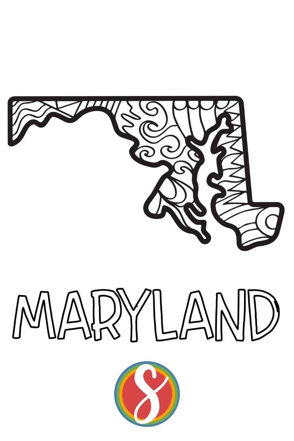
This page is an outline of the state of Maryland with doodles inside. I think this will be so fun to color and I hope you enjoy it with your friends! To print this Maryland coloring sheet, use the button just below the image.

You can find so many more free pages to color here at Stevie Doodles - please keep coming back for more! Browse 1000’s of free coloring pages by category here

Free printable Maryland coloring page from Stevie Doodles - print and color 4 free Maryland themed activity pages in this post from Stevie Doodles and find your state too!

PRINT THE FREE MARYLAND COLORING PAGE ABOVE

Maryland was the 7th state to join the United States.

The U.S. state of Maryland covers 12,407 square miles.

Maryland is the 42nd largest state by area in the United States.

In 2019, the population of Maryland was estimated to be 6,046,000 residents by the U.S. Census Bureau.

In 2019, Maryland was the 19th most populated state in the United States.

A person who is from or lives in Maryland is called a Marylander. READ MORE ABOUT MARYLAND

Maryland- Classic Stevie Doodle

This Maryland coloring page is a classic Stevie Doodles - I make personalized name coloring pages here and you can search for your name in my free pages (I hope you find your and love it!) or you can also get yours for just $5 with one-day digital delivery HERE

I hope you love this Maryland doodle!

Free printable Maryland coloring pages from Stevie doodles - 4 free printable sheets to print and color today about your favorite state!
 

GET ANY NAME + STATE COLORING PAGE


Maryland

The Chesapeake Bay is the largest estuary in the United States, it is a semi-enclosed coastal body of water with a free connection to the open sea. Two states border the Chesapeake Bay, Maryland and Virginia. READ MORE ABOUT MARYLAND AND THE CHESAPEAK BAY

In June 1608, Captain John Smith began his historic exploration of the Chesapeake Bay. He compiled the information for his history and map during two six-week expeditions in which he traversed three thousand miles of the bay and its tributaries on an open barge. Smith’s map of the Chesapeake Bay, published in 1624 in The Generall History of Virginia, New-England and the Summer Islands, was carefully executed, highly detailed and amazingly accurate while his description of the Chesapeake could easily make Smith one of the foremost promoters for colonization on the shores of the Bay: READ MORE HERE

Free printable Maryland  coloring page from Stevie Doodles - print and color this Maryland printable activity sheet + 3 other free Maryland pages today
 

MORE FREE PAGES TO LOVE

Free Alabama Coloring Pages

ALABAMA

This post contains my Alabama coloring pages - see my post with ALL 50 STATES COLORING PAGES HERE
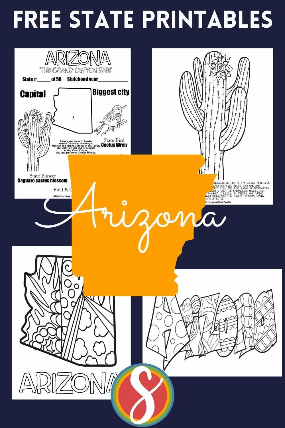
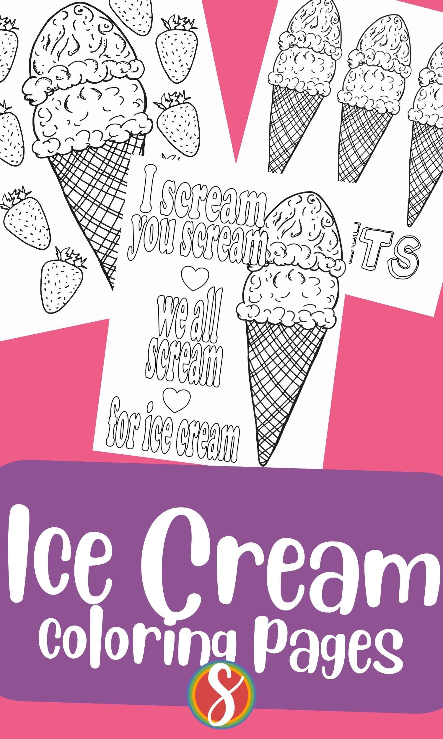
Please enjoy these 4 free pages about ALABAMA from Stevie Doodles. Print and color them as many times as you’d like.

The link to print the page you love is just below the image of that page. (Personal use only please)

  • Alabama, often referred to as the "Heart of Dixie," is the 22nd state to join the United States. It was admitted on December 14, 1819.

  • The state's name is derived from the Native American Creek language, meaning "tribal town" or "vegetation gatherers."

  • Alabama is famous for its rich musical heritage, particularly known as the birthplace of American jazz, blues, and Country music.

  • It is home to significant historical sites, including the Civil Rights Memorial in Montgomery and the renowned Rosa Parks Museum.

  • Alabama boasts breathtaking natural wonders like the Appalachian Mountains, beautiful beaches along the Gulf of Mexico, and the stunning caverns of the Cathedral Caverns State Park.

  • The University of Alabama's Crimson Tide football team is highly esteemed in college football, boasting a remarkable history and passionate fan base.

  • Known for its southern hospitality, Alabama offers a warm and welcoming culture and is celebrated for its flavorful cuisine, with dishes like fried green tomatoes and delicious barbecue.

  • The official state bird of Alabama is the Yellowhammer, and its official state tree is the Southern Longleaf Pine.

  • Notable figures from Alabama include civil rights leader Martin Luther King Jr., influential author Harper Lee, and legendary musician Hank Williams Sr.

  • The state's capital and largest city, Montgomery, has played a pivotal role in American history, from being the birthplace of the Civil Rights Movement to serving as the first capital of the Confederate States of America.

4 alabama coloring pages, facts page, state outline with doodles, state bird on outline of state, and "Alabama" bubble letters filled with doodles

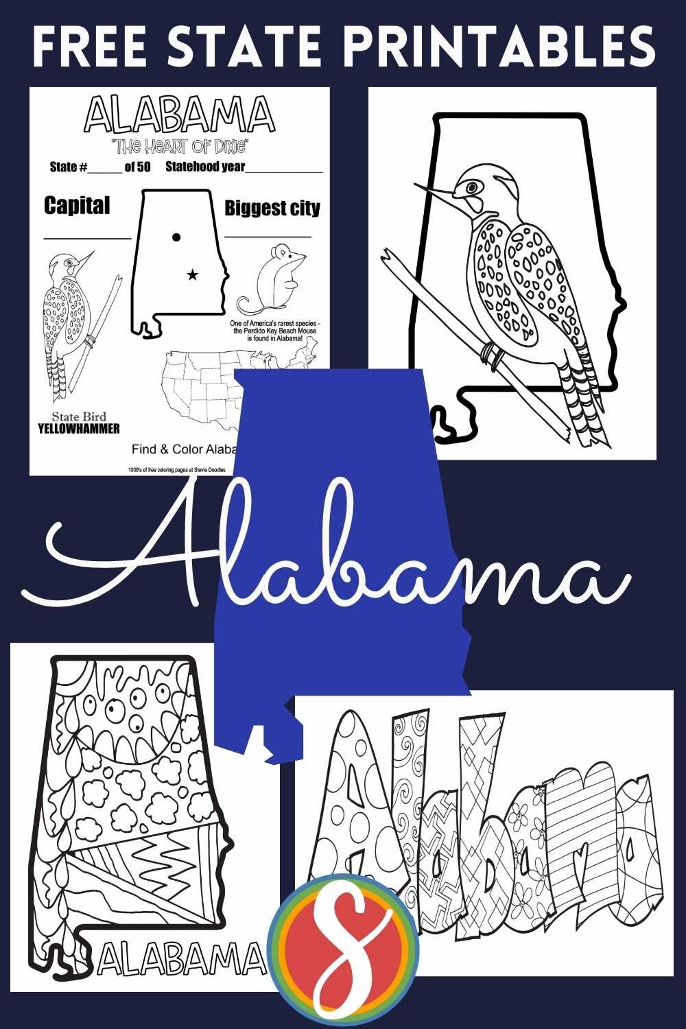
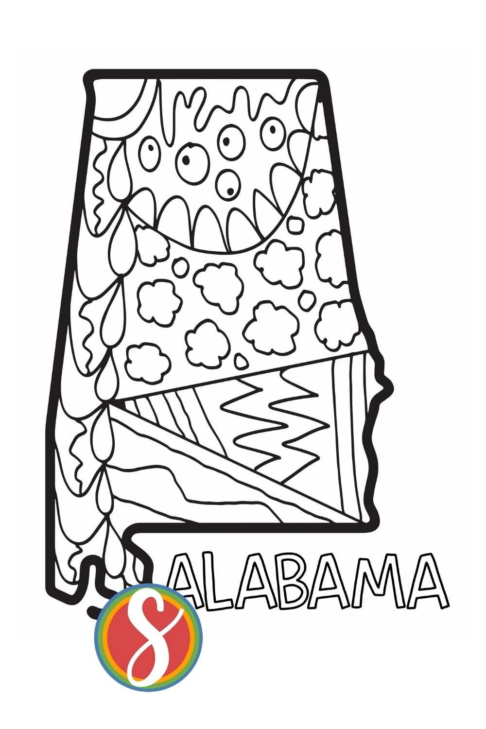
ALABAMA DOODLE

This page is an outline of Alabama with colorable doodles inside. Use the button just below this image to print it.

Alabama coloring page, outline of the state with doodles inside
 

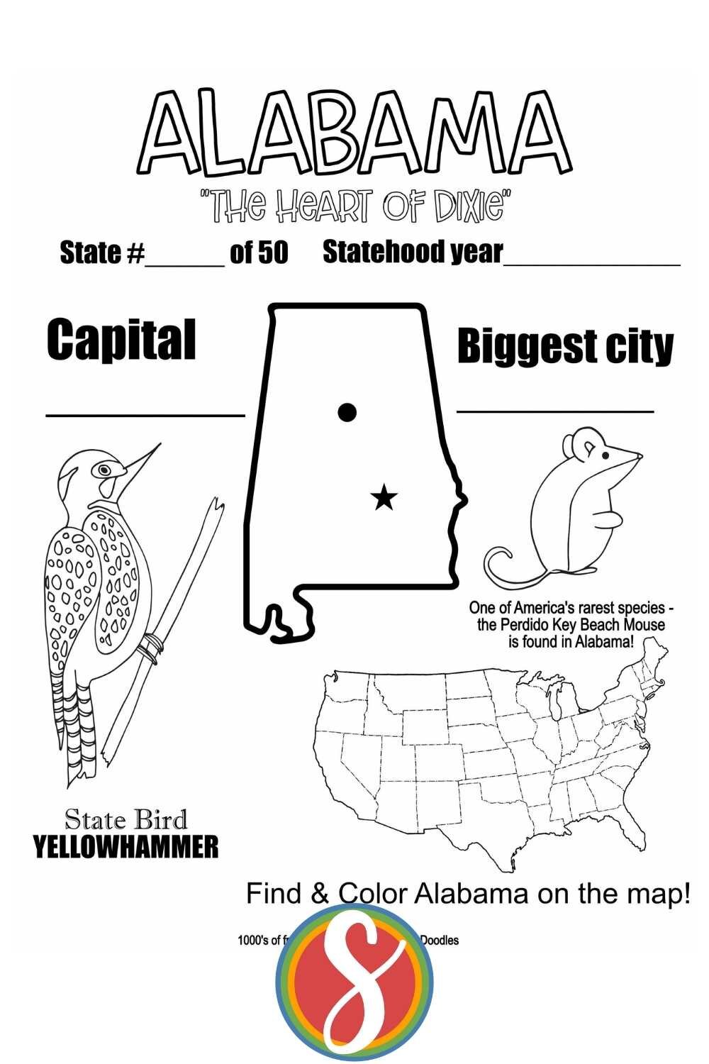
ALABAMA FACTS

This printable has some Alabama facts. Find even more fun Alabama facts here at the Nat Geo

What’s your favorite fact about Alabama? I loved learning about the beach mouse. I can’t believe they are less than 5 inches long and that includes the tail!

Two of North America’s rarest species—the Perdido Key beach mouse and the Alabama beach mouse—hide out in Alabama. Coyotes, armadillos, deer, feral pigs, and American alligatorsalso roam the land. Birds such as kites, bald eagles, and hawks dot the skies, and the Gulf Coast waterdog and the 20-inch eastern hellbender—the biggest salamander species by weight in North America—are underfoot. READ MORE AT NAT GEO

Alabama facts coloring page, US map, Alabama state outline, beach mouse, yellowhammer

Print THE ALABAMA FACTS COLORING PAGE ABOVE

More than 10,000 years ago people came to the area that is now Alabama, some living in Russell Cave. Thousands of years later Native American tribes such as the Cherokee, Chickasaw, Choctaw, and Creek resided in the area. Although many Native Americans were forced to leave Alabama in the 1800s, today some descendants of those tribes still live in the state. READ MORE AT THE NAT GEO PAGE


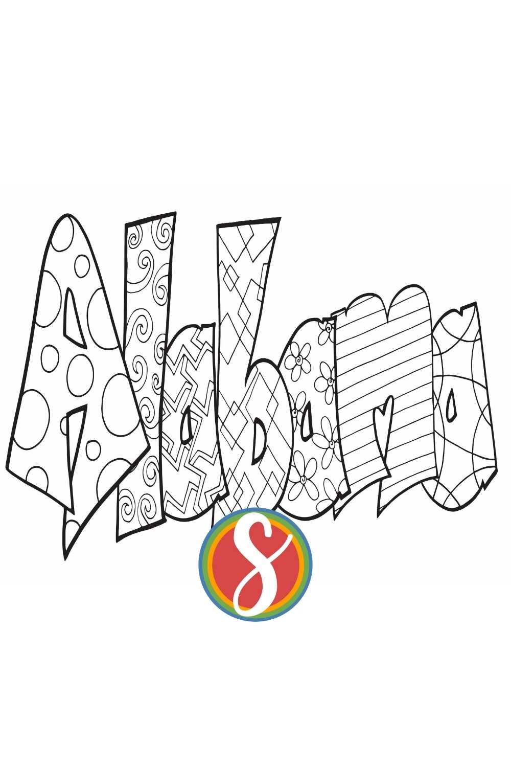
ALABAMA CLASSIC DOODLE

This is “ALABAMA” as a Classic-style Stevie Doodles coloring page. Be sure to search your name among my free name coloring pages

Alabama coloring page, Alabama in bubble letters with doodles inside to color
 

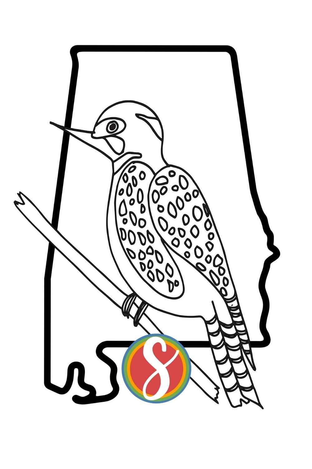
YELLOWHAMMER

The Yellowhammer is the state bird of Alabama. It’s a pretty little bird and I drew the Yellowhammer and put him on an outline of the state of Alabama.

I thought this page would be a fun and simple addition to this small collection of Alabama coloring pages - hope you love it!

The yellowhammer bird, with its vibrant yellow plumage and distinct black markings, is a delight to behold as it flits through sun-soaked meadows. Its melodic song adds a joyful ambiance to the countryside, capturing the essence of a summer's day.

Alabama Yellowbird - a free printable Alabama coloring page from Stevie Doodles. The Yellowhammer is the state bird of Alabama - I think you’ll love this page + find 1000’s more other free coloring sheets at Stevie Doodles
outline of alabama with colorable camellia flower

Print the Alabama state flower page

The landscape of Alabama has been the scene of many of the major crises in the settlement of the continent and in the development of the country. It was a battleground for European powers vying for the lands of the New World, for the fights between the European settlers and the indigenous communities, for the struggles between North and South during the American Civil War, for the civil rights movement, and for other forces of economic and social change that have extensively altered many aspects of the Deep South in the years since the mid-20th century. Although Alabama continues to reside in the lower segment nationally in many significant social and economic rankings, there has been improvement in some areas, particularly in ethnic relations, including the integration of schools and the election of African Americans to political offices. Nevertheless, Alabamians and outsiders alike tend to agree that the state retains a distinctive way of life, rooted in the traditions of the Old South. Area 52,420 square miles (135,767 square km). Population (2010) 4,779,736; (2019 est.) 4,903,185. More about Alabama from Brittanica:


You Might Love These Free Pages

Free Colorado Coloring Page

Colorado

This post contains my Colorado coloring pages - see my post with ALL 50 STATES COLORING PAGES HERE

Hey Hey!! I’m Stevie and I make free coloring pages - welcome to my COLORADO post. There are 4 free printable coloring pages about Colorado here in this post and I hope you love at least one if not all of my Colorado printables.

You might have guessed that I am working on a post for every single state and when that’s finished you’ll see a link to where you can see them all right here in this very location.

For now, I hope this Colorado post is exactly what you need - you can print the page you want by using the button just below the image of your favorite page so scroll on down! I’ve included some fun Colorado facts + some links to where you can learn more about Colorado + some videos made for kids about Colorado which I think go great with my coloring pages

4 Free printable Colorado coloring pages from Stevie Doodles - print and color these free Colorado coloring sheets today + search for your favorite state!

The first long-term settlements appeared in the southwest part of the state thousands of years ago; their ancestors built the ruins at Mesa Verde National Park. Many other Native American cultures later lived in this area, including the Ute, Cheyenne, and Arapaho tribes. READ MORE ABOUT COLORADO FROM NAT GEO HERE

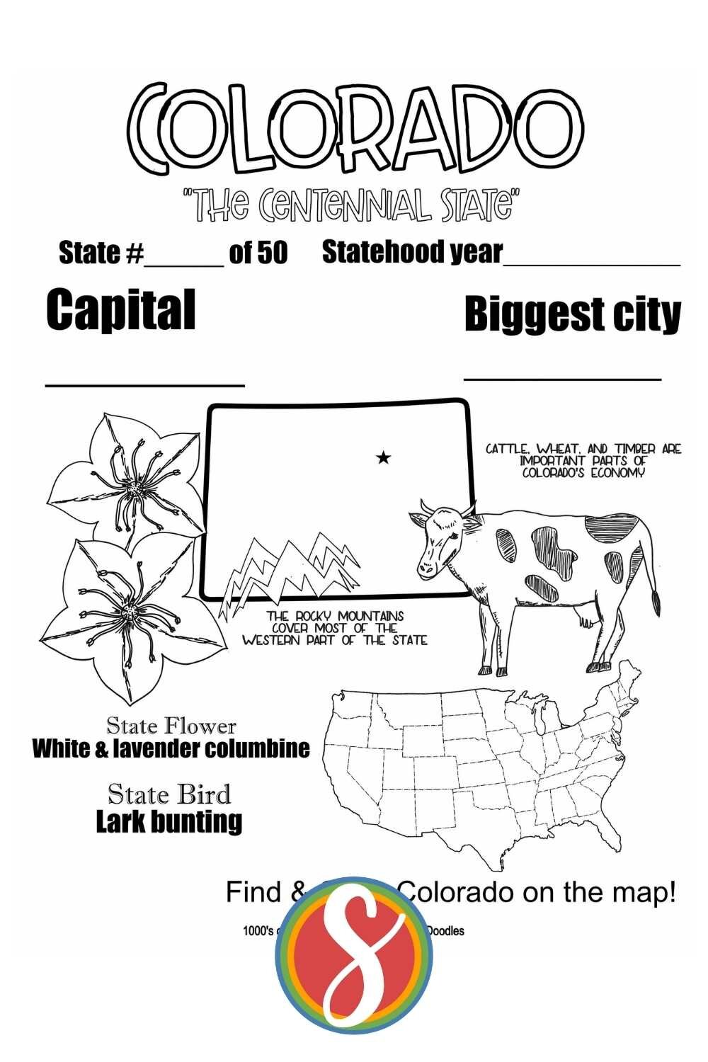
Colorado facts

This page has facts about Colorado! Like how its nickname is “The Centennial State” and how home to The Rockies, and how its state flower is the white and lavender columbine and its state bird is the lark bunting. You can find Colorado in the map of the US and color it in (or color in the whole map and make Colorado special)

It’s called “The Centennial State” because it became a state in the same year the US celebrated its 100th birthday.

Free printable Colorado coloring sheets from Stevie Doodles - Colorado activity pages you can print and color today.


Colorado Doodles

I don’t know if you saw the name of this site but this whole thing was born from my (Stevie) love of doodling. I was the doodler in school, drawing on the edge of my notebooks and sometimes in the middle ;) Please leave doodlers alone by the way. I never once had a teacher bother me about my doodles and I’m so thankful.

This is an outline of the state of Colorado with some of my doodles filling it up for your coloring pleasure - hope this adds something awesome to your exploration of Colorado!

Free printable Colorado doodle coloring page from Stevie Doodles - print and color this Colorado activity sheet free + find 1000’s more free printable coloring pages
 

GET ANY NAME AS A STATE NAME COLORING PAGE WITH ONE DAY DIGITAL DELIVERY


Colorado Classic

This Colorado coloring page is a classic Stevie Doodles - I make personalized name coloring pages here and you can search for your name in my free pages (I hope you find your and love it!) or you can also get yours for just $5 with one-day digital delivery

You’ll find one of these in every one of my states posts - get the Colorado classic version below the image.

GET YOUR NAME AS A CLASSIC STEVIE DOODLE WITH ONE-DAY DELIVERY

Print the Classic Colorado coloring page

Surprisingly, it is possible to be in more than two states at the same time. In the southwest corner of Colorado, the state borders three others, Arizona, New Mexico, and Utah. This is quite the phenomenon as it’s the only place in the whole of America where the corners of four states all meet. So, if you’re in Colorado head to the Four Corners Monument to stand in Arizona, New Mexico and Utah at the same time.

Glenwood Springs houses the largest mineral pool in the world, it is also one of the hottest in Colorado. The source of the Glenwood Hot Springs’s mineral water is the Yampah spring. The spring produces over 3.5 million gallons of water per day at a scolding 122F. READ MORE ABOUT COLORADO HERE

 

Colorado Rockies

Rocky Mountain National Park has 156 lakes. Only 48 of the 156 lakes contain trout populations, as cold water temperatures and lack of spawning habitat prevent populations from sustaining in many of the higher elevation lakes.

The Continental Divide (a demarcation of the flow of water between the Pacific Ocean and Atlantic Ocean) runs through the park.

There are rocks 1.7 billion years old in the park, and they are also some of the oldest in the National Parks System.

Rocky Mountain National Park is connected from end to end by a stretch of U.S. Highway 34 known as Trail Ridge Road.

Rocky Mountain’s Trail Ridge Road is the highest continual highway in the country. Its maximum height is 3,713 kilometers (12,183 feet). READ MORE ABOUT THE ROCKIES

Free printable Colorado Rockies coloring page printable with facts about the Rockies - free printable activity sheets to explore Colorado
outline of colorado with columbine flower to color
 

More Free Pages To Love